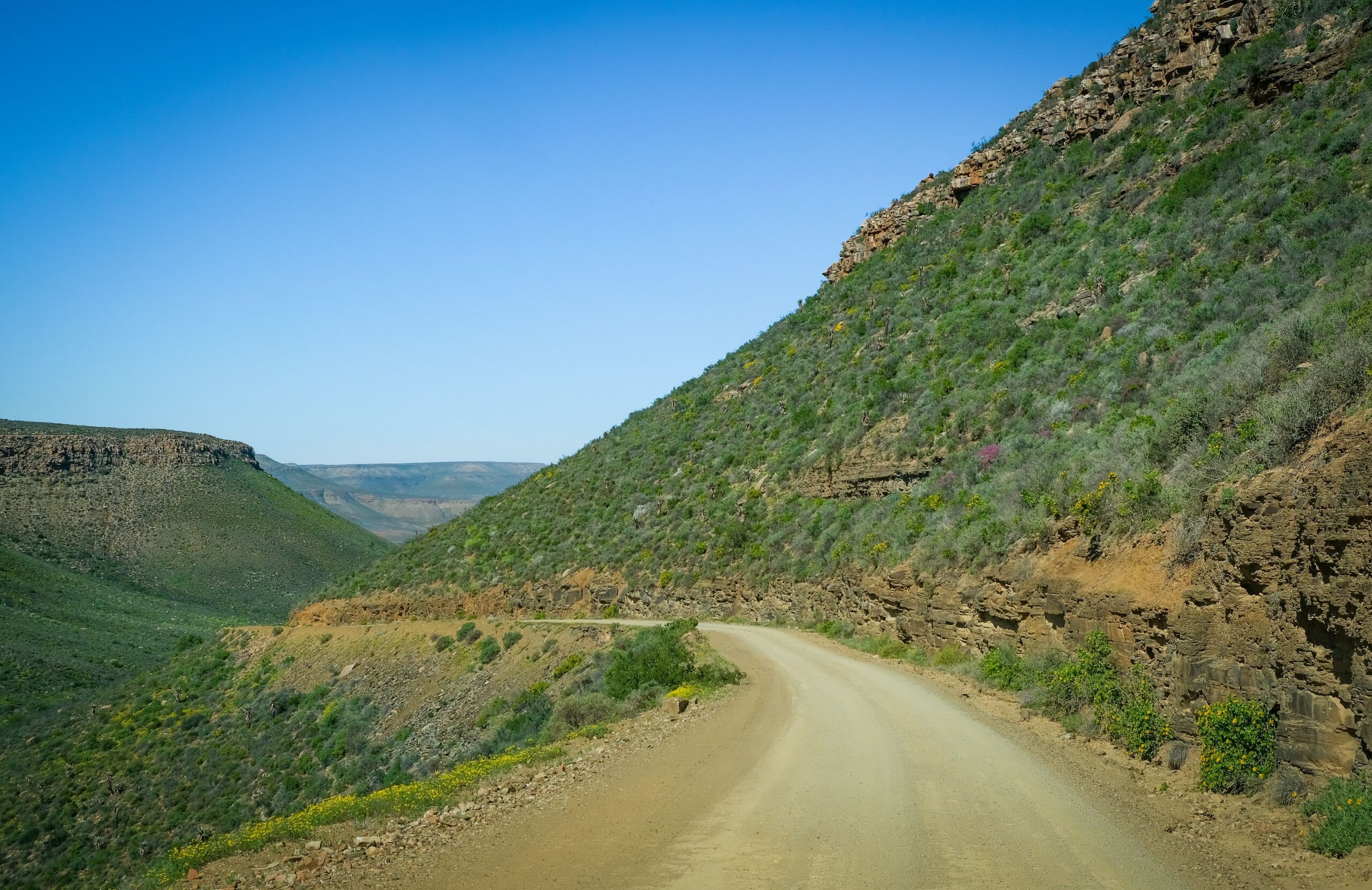

Some journeys are measured in kilometres. This one is measured in landscapes.
The Namakwa-Richtersveld 4×4 Eco Trail is South Africa’s longest official 4×4 route. It runs for roughly 600 km, from the dusty N14 town of Pofadder in the east to Alexander Bay, where the Orange River empties into the Atlantic Ocean. In six days you cross mission villages, river corridors, boulder-strewn canyons, a World Heritage Site and finally the dunes of the coast.
It is not a trip for everyone, and that is part of the appeal. It is wild, remote and completely unassisted. If you have the right vehicle and a little preparation, it may be the most rewarding overland expedition in the country.
What you need to know first
Your vehicle. You need a true high-clearance 4×4 with low-range gearing. Soft-roaders and AWD crossovers are strictly barred, because the chassis-twisting terrain and deep sand will find them out.
Your tyres. Choose all-terrain or mud-terrain tyres with reinforced sidewalls. You will air down to about 1.2 to 1.5 bar to protect against jagged shale and to float across soft sand.
Your supplies. The trail is 100% unassisted. Pack at least 5 litres of drinking water per person, per day, plus all your food and firewood, a spade and heavy-duty refuse bags. Everything you pack in must be packed out.
Your permits. The route crosses community land and state-protected conservation areas, so the Namakwa (eastern) and Richtersveld (western) sections need separate permits unless you book a combined passage. We cover this in detail in our permits article.
Day 1: Pofadder to Hartbeesmond Campsite
About 55 km, 2.5 to 3.5 hours
Fill up in Pofadder, because it is your last fuel for three days. Then head north on the N14 towards the mission village of Pella, where French missionaries hand-built a striking yellow cathedral. Stop and take it in.
From Pella you join the formal trail and make your first big choice. Charlie’s Pass is wider but heavily corrugated and sandy. Canyon Pass is narrow, with tight rock cuts and sharp drop-offs. Use low range on both as you crawl down to the Orange River floodplains and your first wild bush camp on the riverbank at Hartbeesmond.
Day 2: Hartbeesmond to Groot Melkhoutboom Campsite
About 55.3 km, 2.5 to 3.0 hours
The track follows the Orange River corridor, then turns inland across baked, rocky plateaus. You cross minor dry washes and pass near the remote Witbank communal settlement. There is no fuel today, so rely on your reserves.
You choose between Track 4A (longer and more scenic) and Track 4B (shorter and rugged). Either way you arrive at Die Groot Melkhoutboom, a wild camp shaded by an ancient Shepherd’s Tree, Boscia albitrunca. In this country, shade like that is a gift.
Day 3: Groot Melkhoutboom to Kamgab Campsite
About 93 km, 5.5 to 7.0 hours
This is the most technical day of the eastern leg. You head west through dry sandy washes towards Goodhouse and pass the Henkries water pipeline. If you run a rooftop tent or off-road trailer, check your clearance under the pipeline frame.
Then you turn north into the narrow Kamgab Riverbed Canyon. The final 18 km is slow crawling over loose boulder fields, rock shelves and heavy river sand, ending at a camp at the canyon mouth. Keep a close eye on your fuel and water, as there is no resupply.
Day 4: Kamgab to Matjieskloof Campsite (Eksteenfontein)
About 156 km, 7.0 to 9.0 hours
It is a long day. You backtrack 24 km out of the canyon to the main crossroads, then travel 17 km west to the N7 highway. Nearby, the Vioolsdrift N14/N7 junction is your critical refuelling and restocking hub, so use it well.
Cross the N7 and the Richtersveld leg begins. You wind southwest through the rugged Nababeep mountain tracks to the community hub of Eksteenfontein, then climb a steep north-south track into the Stinkfontein range. At the top is Matjieskloof, a mountain gorge camp with a permanent natural spring.
Day 5: Matjieskloof to Tierhoek Campsite
About 65 km, 3.5 to 4.5 hours
A short distance, but a slow day. You go deep into the mountainous heartland of the Richtersveld World Heritage Site on unmaintained tracks, crawling over jagged shale, sharp loose stones and steep inclines. Keep your tyre pressures low to cushion the vehicle against the rocks. There is no fuel on this stretch, and the emergency supply at Eksteenfontein is unreliable.
Your reward is Tierhoek, an enclosed granite amphitheatre of massive boulders, sheltered from the wind and offering total isolation.
Day 6: Tierhoek to Alexander Bay
About 145 km, 4.0 to 5.5 hours
The final stage drops out of the mountains and heads west via Lekkersing and Kuboes towards the Atlantic. The shale gives way to soft coastal dunes, so keep your momentum steady through the sand fields.
The trail ends at Alexander Bay, where the muddy Orange River meets the cold Atlantic. Full services are available here, and you can finish at Brandkaros, an optional final camp, or in local lodging.
Is this trip for you?
If you want comfort, services and a guide, this is not it. If you want six days of genuine self-sufficient travel, with river camps, canyon crawls, starry nights and a finish at the edge of the continent, then this is one of the great drives in Southern Africa.
Over the coming weeks we will take you through every stop on the route. Check your tyres, fill your tank in Pofadder, and get ready for the wild.